Equator Engineering Resources
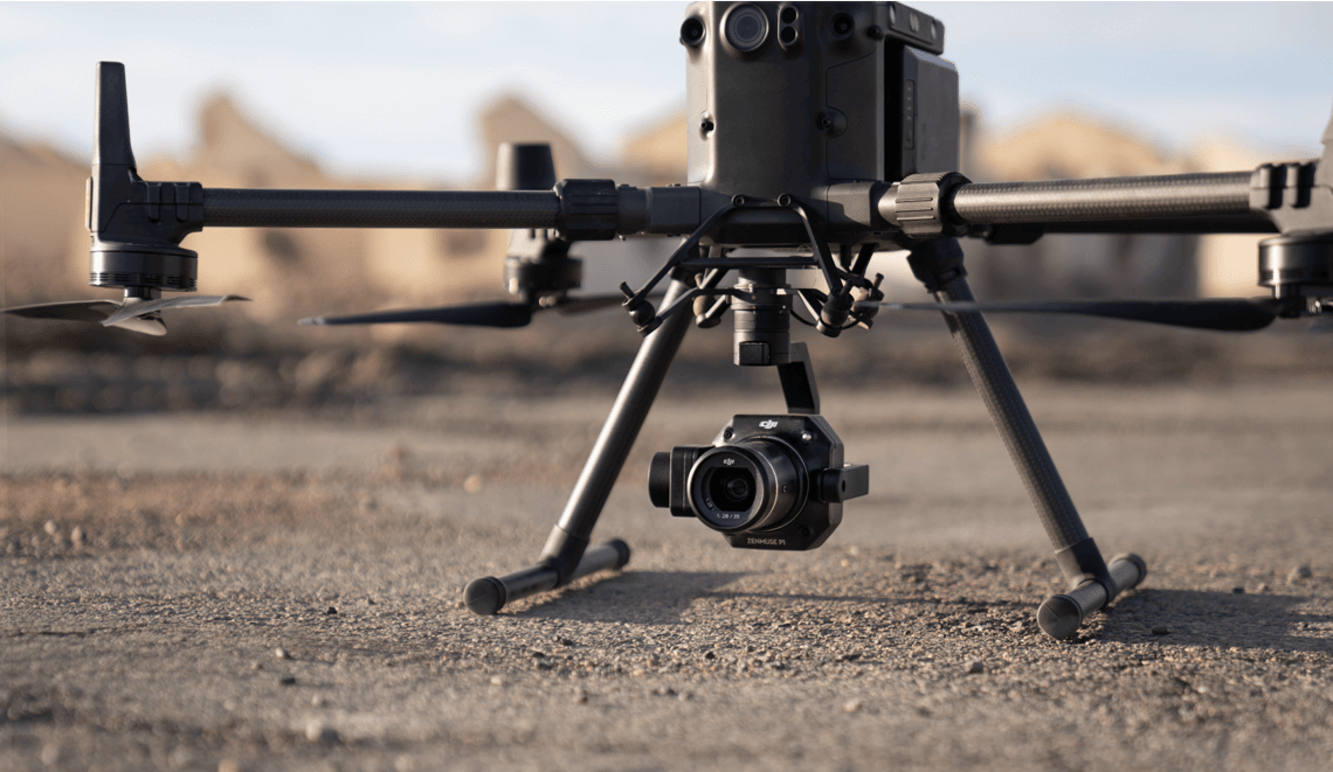
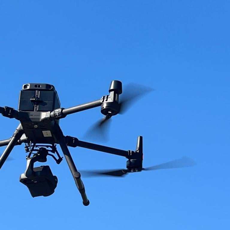
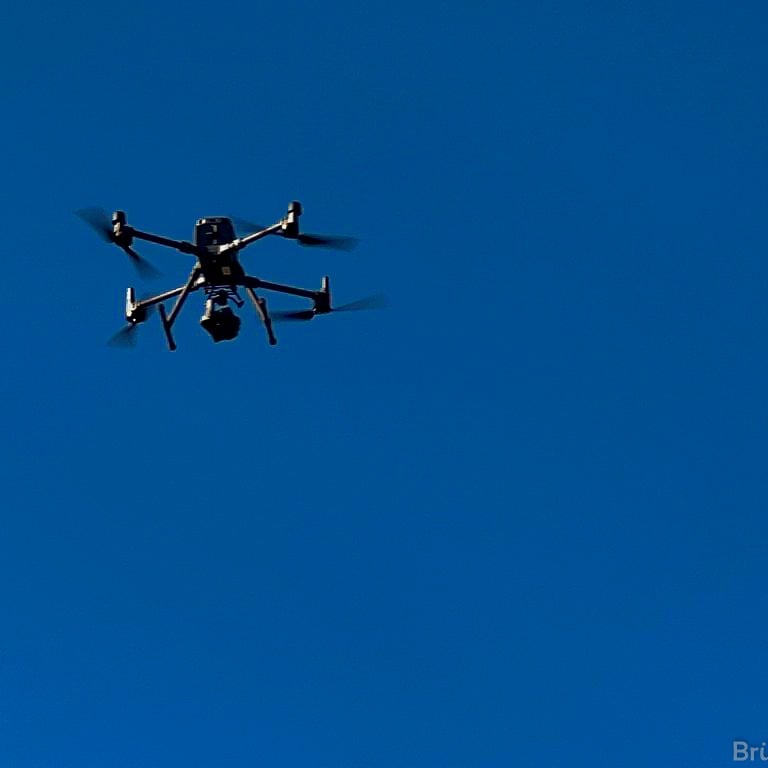
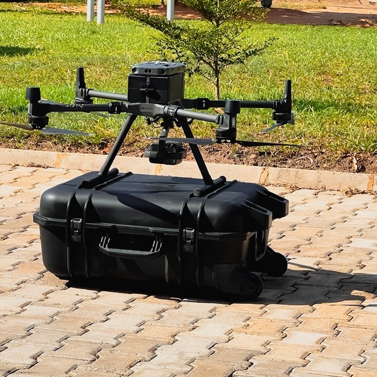
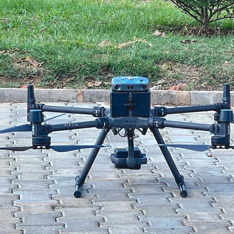
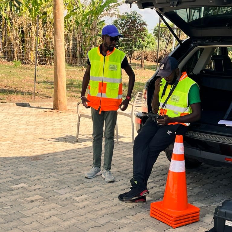
Equator is an efficient drone tech company that believes in providing its clients with the best services and exceptional picture quality.
HIGHTECH DRONES
Drone Service Program
Telecommunication Tower Inspection
Drone technology significantly simplifies the inspection of telecommunication towers. Drones can easily navigate around the structures, capturing high-resolution images and videos without the need for scaffolding or ladders. This not only enhances the safety of the inspection process but also allows for quicker assessments. Moreover, the ability to collect data from various angles ensures accurate readings, providing essential information for maintenance and operational planning.
Bridge inspection
We can inspect all kinds of bridges. Our drones can view an item at any angle between +45° up and 90° down. An ability which is particularly useful when inspecting bridges.
Flying underneath or above the bridge to inspect for damages in the concrete, corrosion, etc., without the cost
Power Grid – Inspection of Power Pylons
Drones provide an effective means for examining transmission and distribution power lines, including substations.
Drones can be utilized to inspect power lines and pylons for the presence of birds’ nests, lightning damage, rust or corrosion, and broken bolts.
Inspection of Buildings and Roofs
Our drone inspection solution makes it simple, safe, and quick to conduct proactive inspections of buildings, rooftops, and gutters, as well as to document material damages following storms or other incidents.
Using both still images and video enhances rooftop inspections, allowing for the identification of faults or defects. The drone is also employed to detect heat-related issues during inspections. To perform this type of inspection, a thermographic camera is utilized, swiftly pinpointing potential leaks.
O1
Telecommunication Tower Inspection
Drone inspection of towers enhances safety and efficiency, eliminating danger to personnel.
Key assessment items during tower inspections include:
a. Structure Condition (damaged, loose, missing members, etc.)
b. Finish (paint, Galvanising, etc.)
c. Lighting
d. Grounding
e. Antennas & Feed Lines
f. Supported Appurtenances
g. Concrete Foundations
h. Guy Wires
i. Tower Alignment
With detailed tower information, we create a digital asset twin, removing the need for physical inspections when safe.
Drone imagery allows for thorough inspections, minimizing the need for personnel in hazardous situations.
Unmanned systems can easily inspect tall towers, significantly reducing safety risks.


O2
Power Grid – Inspection of Power Pylons
Drones are a practical solution for inspecting transmission and distribution power lines and substations.
They can detect birds’ nests, rust, and damage on power lines and pylons.
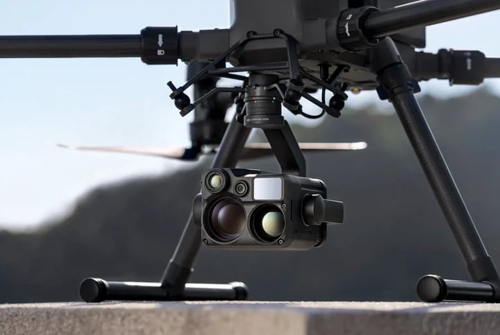
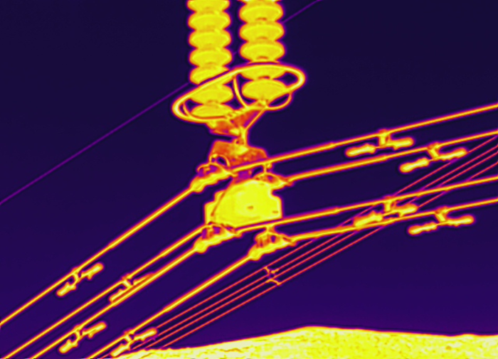
Drone solutions provide visual and thermal data, allowing risks to be identified quickly without shutting down operations.
Our system accounts for magnetic interference, enabling high-resolution data collection close to power lines.
Depending on needs, a high-resolution or thermographic camera is used, simplifying image sorting for detailed reports.
Equator Engineering Resources Limited provides tools to detect:
a. Concrete basement defects
b. Insulator overheating
c. Conductor overheating
d. Conductor breaks
e. Tower mechanical defects
f. Unauthorised objects in wayleaves
Thermal cameras measure heat emitted to analyse voltage and resistance, helping personnel check defects timely.
O3
Bridge Inspection
We can inspect all kinds of bridges, whether they are large or small, modern or historic. Our drones are equipped with advanced imaging technology that allows them to view an item at any angle between +45° up and 90° down. This unique ability is particularly useful when inspecting bridges, as it provides us with a comprehensive perspective that can reveal structural issues that might otherwise be overlooked.
Flying underneath or above the bridge to meticulously inspect for damages in the concrete, corrosion, and other potential problems without the significant cost and logistics of, for example, a traditional rope access team, makes aerial drone inspection not only an attractive alternative but also a highly efficient and effective solution for maintenance teams. It not only saves time but also ensures that inspections are thorough and detailed, allowing for timely repairs and safeguarding the longevity of the infrastructure.


O4
Inspection of Buildings and Roofs
A proactive and thorough inspection of buildings, rooftops, and gutters, as well as detailed documentation of material damages following a storm or any other unfortunate accidents, is not only easy but also safe and incredibly fast with our innovative drone inspection solution. Utilizing advanced technology, our drones provide high-resolution imagery and data that can help identify potential problems before they become serious issues.
Both still images and video footage are highly useful when conducting inspections of rooftops, as they facilitate the timely detection of faults, defects, and any signs of wear and tear. The drone is also adept at detecting heat-related faults or defects during inspections. For this kind of inspection, we incorporate a state-of-the-art thermographic camera that is securely attached, enabling us to quickly pin out potential leaks and energy inefficiencies, ultimately helping homeowners and businesses address issues proactively and maintain the integrity of their structures.
Benefits
Minimizes Safety Hazards
The drone enables workers to maintain safety on the ground, helping to avoid job-related injuries or the accidental dropping of tools and equipment necessary for completing the inspection.
Enhances the Repair Rate Percentage
Inspections can swiftly pinpoint necessary repairs, leading to quicker maintenance scheduling. The inspector can access real-time data, enabling him to determine the actions needed before the inspection concludes.
Saves Time And Money
Inspections of cell towers using drones significantly cut down the time required to check numerous locations from several weeks to just a few hours. This not only reduces labor expenses but also leads to an increase in the number of inspections conducted. Given the right conditions, a drone operator can assess three cell towers each day.
Assists in Better Infrastructure Planning
Examining the drone data can facilitate planning for enhanced infrastructure as the cellular tower sector expands.
Gallery
Provide a short description of the gallery, highlighting key things.






My office
Plot 23285/M Silverest
Lusaka, Zambia
Contacts
equatoren@zambia.co.za
+260 969 503 500


